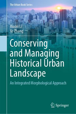
This book focuses on urban morphology and its application to urban conservation and management. The rapid disappearance of historical urban landscapes, especially in developing countries, is largely attributed to the lack of historic awareness and broad-brush demolition and redevelopment in urban development. The book provides a new, integrated morphological approach that enables fine-grained and cross-scale examination of urban form based on both its historicity and socio-economic potential, with the aims of informing more responsive and context-specific conservation and management of historical urban landscapes. The robustness of this new approach and the feasibility of its application to urban conservation practice are tested and demonstrated by three case studies in drastically different cultural contexts, namely Ludlow, a medieval town in the UK, Chinatown in Singapore and a historic quarter in Nanjing, China.
Combining historico-geographical and configurational approaches, the book also makes a significant breakthrough in terms of coordinating and synthesizing different traditions of urban morphology, which has been a key challenge to this field over the past decades. In addition, by using multi-source data, ranging from conventional cartographic maps to computer-generated and open online data, the integrated approach innovatively relates qualitative and quantitative aspects of urban form and links the qualitative and quantitative analyses of formal structure.
As an interdisciplinary study merging geography, urban history, urban planning and design, this book is to be primarily used as a reference book for graduate students and scholars in various fields who are interested in urban form and urban conservation and management. In addition, it offers practitioners in urban planning and design a useful tool for managing changes in historical urban landscapes. Lastly, it contributes to developing a common platform tofacilitate dialogues among various stakeholders and participants in urban conservation practice.