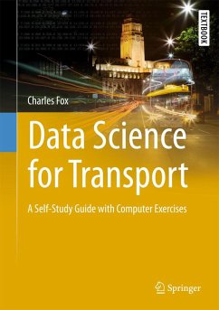
As transportation planning has become increasingly data-driven, all graduate students and transport professionals urgently need to update their skills to include databases, machine learning, Bayesian statistics, geographic information system (GIS), and big data tools. Similarly, transport professionals including national and local government planners, transport consultants, and car company engineers are called upon to integrate these disparate areas with a specific focus on transportation issues, such as maps.
The textbook also features a downloadable software package with all of the open source tools and libraries used in code examples throughoutthe book, including Python, Spyder, PostGIS, PyMC and GPy installations. As such, it offers a unique resource for graduate/advanced undergraduate students and instructors in transportation studies, urban and regional planning, engineering and geography, as well as transportation professionals.
Dieser Download kann aus rechtlichen Gründen nur mit Rechnungsadresse in A, B, BG, CY, CZ, D, DK, EW, E, FIN, F, GR, HR, H, IRL, I, LT, L, LR, M, NL, PL, P, R, S, SLO, SK ausgeliefert werden.

