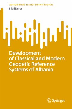
This book addresses the problems of mathematical relations between global and classical coordinate references from the practical applications point of view. It presents a large cartographic and numerical information set, which provides great values for practical and academical use based on the classical Albanian coordinative reference (ALB1986/ALB1987). This information is reflected from the positional point of view in the new modern Albanian satellite reference ALBPOS (Albanian Positioning System) or ALBCORS (Albanian Continuous Operation Reference Stations System). The main purpose of this Monograph is to summarize coordinative references applied in Albania in different periods, both classical and modern. Relevant transformation models between traditional/classical reference ALB1986 / ALB1987 and GNSS satellite reference are presented. The book furthermore recommends the mathematical models of the relationship in plan and height, between the Albanian classical reference and the global/European coordinate references (ITRF, EUREF). It serves to professionals involved in fundamental geodetic works as well as all working with GNSS or developing GIS applications.
Dieser Download kann aus rechtlichen Gründen nur mit Rechnungsadresse in A, B, BG, CY, CZ, D, DK, EW, E, FIN, F, GR, HR, H, IRL, I, LT, L, LR, M, NL, PL, P, R, S, SLO, SK ausgeliefert werden.

