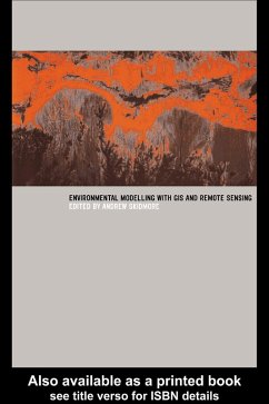
This text derives from a training course for professionals and managers in the environmental sciences, detailing the applications of remote sensing and Geographical Information Systems (GIS) for environmental modelling and assessment. It sets out research results and provides operational methods.
Dieser Download kann aus rechtlichen Gründen nur mit Rechnungsadresse in A, B, BG, CY, CZ, D, DK, EW, E, FIN, F, GR, HR, H, IRL, I, LT, L, LR, M, NL, PL, P, R, S, SLO, SK ausgeliefert werden.

