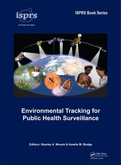
Satellite imagery and data are widely used in public health surveillance to provide early warning of disease outbreaks and for averting pandemics. Convergence of these technologies began in the 1970s and has gained wide acceptance in the 21st Century. This book is written jointly by experts in both the health and Earth-science technologies. Each chapter is accompanied by an extensive list of citations to provide background and validation of the current state-of-the-art for a variety of high-interest human diseases and associated health and well-being issues. The importance of day-to-day weather patterns, the impacts of severe weather events and longer-term climate cycles form the basis for developing information systems that meet goals and expectations of national and international health monitoring bodies.
Dieser Download kann aus rechtlichen Gründen nur mit Rechnungsadresse in A, B, BG, CY, CZ, D, DK, EW, E, FIN, F, GR, HR, H, IRL, I, LT, L, LR, M, NL, PL, P, R, S, SLO, SK ausgeliefert werden.

