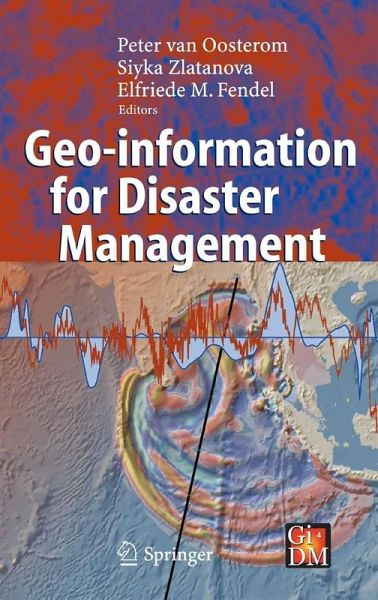
Geo-information for Disaster Management (eBook, PDF)
Versandkostenfrei!
Sofort per Download lieferbar
232,95 €
inkl. MwSt.
Weitere Ausgaben:

PAYBACK Punkte
116 °P sammeln!
Geo-information technology offers an opportunity to support disaster management: industrial accidents, road collisions, complex emergencies, earthquakes, fires, floods and similar catastrophes (for example the recent huge disaster with the Tsunami in South-East Asia on 26 December 2004). Access to needed information, facilitation of the interoperability of emergency services, and provision of high-quality care to the public are a number of the key requirements.Such requirements pose significant challenges for data management, discovery, translation, integration, visualization and communication...
Geo-information technology offers an opportunity to support disaster management: industrial accidents, road collisions, complex emergencies, earthquakes, fires, floods and similar catastrophes (for example the recent huge disaster with the Tsunami in South-East Asia on 26 December 2004). Access to needed information, facilitation of the interoperability of emergency services, and provision of high-quality care to the public are a number of the key requirements.
Such requirements pose significant challenges for data management, discovery, translation, integration, visualization and communication based on the semantics of the heterogeneous (geo-) information sources with differences in many aspects: scale/resolution, dimension (2D or 3D), classification and attribute schemes, temporal aspects (up-to-date-ness, history, predictions of the future), spatial reference system used, etc.
The book provides a broad overview of the (geo-information) technology, software, systems needed, used and to be developed for disaster management. The book provokes a wide discussion on systems and requirements for use of geo-information under time and stress constraints and unfamiliar situations, environments and circumstances.
Dieser Download kann aus rechtlichen Gründen nur mit Rechnungsadresse in A, B, BG, CY, CZ, D, DK, EW, E, FIN, F, GR, HR, H, IRL, I, LT, L, LR, M, NL, PL, P, R, S, SLO, SK ausgeliefert werden.


