Geographical Knowledge and Imperial Culture in the Early Modern Ottoman Empire (eBook, ePUB)
Versandkostenfrei!
Sofort per Download lieferbar
56,95 €
inkl. MwSt.
Weitere Ausgaben:

PAYBACK Punkte
28 °P sammeln!
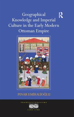
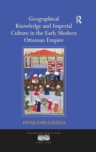
Exploring the reasons for a flurry of geographical works in the Ottoman Empire in the sixteenth century, this study analyzes how cartographers, travellers, astrologers, historians and naval captains promoted their vision of the world and the centrality of the Ottoman Empire in it. It proposes a new case study for the interconnections among empires in the period, demonstrating how the Ottoman Empire shared political, cultural, economic, and even religious conceptual frameworks with contemporary and previous world empires.
Dieser Download kann aus rechtlichen Gründen nur mit Rechnungsadresse in A, B, BG, CY, CZ, D, DK, EW, E, FIN, F, GR, HR, H, IRL, I, LT, L, LR, M, NL, PL, P, R, S, SLO, SK ausgeliefert werden.


