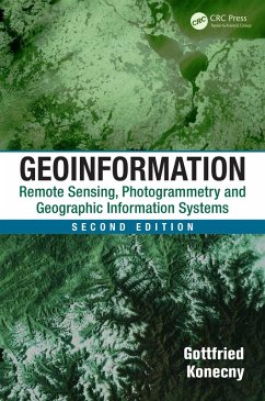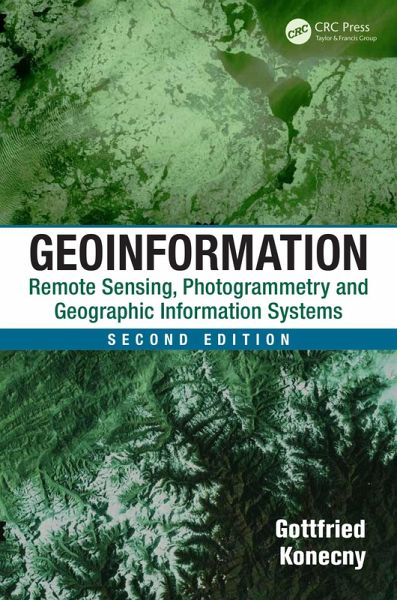
Geoinformation (eBook, PDF)
Remote Sensing, Photogrammetry and Geographic Information Systems, Second Edition
Versandkostenfrei!
Sofort per Download lieferbar
45,95 €
inkl. MwSt.
Weitere Ausgaben:

PAYBACK Punkte
23 °P sammeln!
Written by a renowned expert, Geoinformation: Remote Sensing, Photogrammetry and Geographic Information Systems, Second Edition gives you an overarching view of how remote sensing, photogrammetry, and geographic information systems work together in an interdisciplinary manner. The book presents the required basic background of the geoinformatics co
Dieser Download kann aus rechtlichen Gründen nur mit Rechnungsadresse in A, B, BG, CY, CZ, D, DK, EW, E, FIN, F, GR, HR, H, IRL, I, LT, L, LR, M, NL, PL, P, R, S, SLO, SK ausgeliefert werden.


