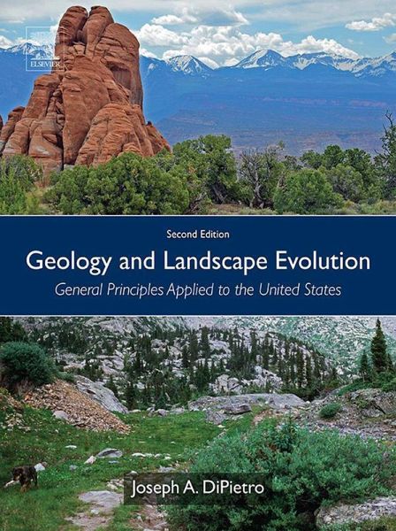
Geology and Landscape Evolution (eBook, ePUB)
General Principles Applied to the United States

PAYBACK Punkte
47 °P sammeln!
Geology and Landscape Evolution: General Principles Applied to the United States, Second Edition, is an accessible text that balances interdisciplinary theory and applications within the physical geography, geology, geomorphology and climatology of the United States. The vast diversity of terrain and landscape across the United States makes this an ideal tool for geoscientists worldwide who research the country's geological and landscape evolution. The book provides an explanation of how landscape forms, how it evolves and why it looks the way it does. This new edition is fully updated with gr...
Geology and Landscape Evolution: General Principles Applied to the United States, Second Edition, is an accessible text that balances interdisciplinary theory and applications within the physical geography, geology, geomorphology and climatology of the United States. The vast diversity of terrain and landscape across the United States makes this an ideal tool for geoscientists worldwide who research the country's geological and landscape evolution. The book provides an explanation of how landscape forms, how it evolves and why it looks the way it does. This new edition is fully updated with greater detail throughout and additional figures, maps, drawings and photographs. Rather than limiting the coverage specifically to tectonics or to the origin and evolution of rocks with little regard for the actual landscape beyond general desert, river and glacial features, this book concentrates specifically on the origin of the landscape itself, with specific and exhaustive reference to examples from across the United States. The book begins with a discussion of how rock type and rock structure combine with tectonic activity, climate, isostasy and sea level change to produce landscape and then explores predicting how landscape will evolve. The book goes on to apply those concepts to specific examples throughout the United States, making it a valuable resource for understanding theoretical geological concepts through a practical lens. - Presents the complexities of physical geography, geology, geomorphology and climatology of the United States through an interdisciplinary, highly accessible approach - Offers hundreds of full-color figures, maps and photographs that capture the systematic interaction of land, rock, rivers, glaciers, global wind patterns and climate, including Google Earth images - Provides a thorough assessment of the logic, rationale, and tools required to understand how to interpret landscape and the geological history of the Earth - Features exercises that conclude each chapter, aiding in the retention of key concepts - Updated with greater detail throughout and additional figures, maps, drawings and photographs - Includes additional subheadings so that material is easier to find and digest - Includes an all-new chapter on glaciation and expanded exercises using Google Earth images to enhance understanding
Dieser Download kann aus rechtlichen Gründen nur mit Rechnungsadresse in A, B, BG, CY, CZ, D, DK, EW, E, FIN, F, GR, HR, H, IRL, I, LT, L, LR, M, NL, PL, P, R, S, SLO, SK ausgeliefert werden.


