Dieser Download kann aus rechtlichen Gründen nur mit Rechnungsadresse in A, B, BG, CY, CZ, D, DK, EW, E, FIN, F, GR, HR, H, IRL, I, LT, L, LR, M, NL, PL, P, R, S, SLO, SK ausgeliefert werden.
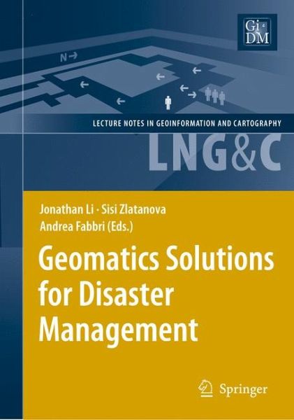
"Effective utilization of satellite positioning, remote sensing, and geographic information systems (GIS) in disaster monitoring and management requires research and development in numerous areas ... . This book, written for researchers and practitioners in the fields of GIS and computer applications in the geosciences, provides an overview of what is being developed in this topical area." (Natural Hazards Observer, March, 2008)

