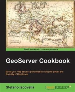
GeoServer is one of the founding blocks of the OS-Geo software stack. It helps connect existing information not only to virtual globes, such as Google Earth, but also to web-based maps such as OpenLayers, Google Maps, and Bing Maps.You will start off by learning about the various concepts of vector data used in GeoServer to build maps. You will then learn how to build beautiful maps by using advanced styling methods such as CSS. Finally, you will learn how to monitor and tune the GeoServer environment. With this comprehensive guide, you will gain an in-depth knowledge of GeoServer features that will allow you to integrate it into your enterprise systems for data processing and publication quickly and efficiently.
Dieser Download kann aus rechtlichen Gründen nur mit Rechnungsadresse in A, B, BG, CY, CZ, D, DK, EW, E, FIN, F, GR, HR, H, IRL, I, LT, L, LR, M, NL, PL, P, R, S, SLO, SK ausgeliefert werden.

