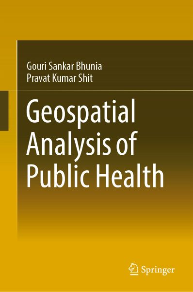
Geospatial Analysis of Public Health (eBook, PDF)
Versandkostenfrei!
Sofort per Download lieferbar
112,95 €
inkl. MwSt.
Weitere Ausgaben:

PAYBACK Punkte
56 °P sammeln!
This book is specifically designed to serve the community of postgraduates and researchers in the fields of epidemiology, health GIS, medical geography, and health management. It starts with the basic concepts and role of remote sensing, GIS in Kala-azar diseases. The book gives an exhaustive coverage of Satellite data, GPS, GIS, spatial and attribute data modeling, and geospatial analysis of Kala-azar diseases. It also presents the modern trends of remote sensing and GIS in health risk assessment with an illustrated discussion on its numerous applications.
Dieser Download kann aus rechtlichen Gründen nur mit Rechnungsadresse in A, B, BG, CY, CZ, D, DK, EW, E, FIN, F, GR, HR, H, IRL, I, LT, L, LR, M, NL, PL, P, R, S, SLO, SK ausgeliefert werden.


