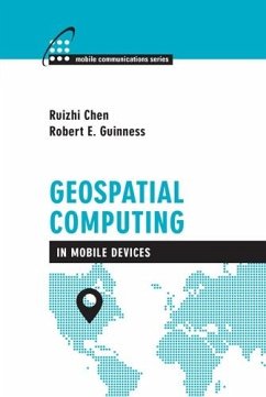
Geospatial computing includes utilizing computing devices and sensors to acquire, process,analyze, manage, and visualize geospatial data, which users can then interact with via a largevariety of smart geospatial applications. Geospatial computing is a computational-demanding task, in terms of computation power, data storage capacity, and memory space. Therefore, it hasprimarily been performed on non-mobile computers. Recent developments allow smartphones to meet many of the demanded requirements for geospatial computing. This book addresses the topic of geospatial computing in smartphones, including positioning, mobile Geographic Information Systems (GIS) and smart mobile applications. You are provided with aspects related to positioning methods, as well as solutions for geospatial data acquisition, processing, and visualization. This resource also covers various aspects of the application technologies, such as context detection and context intelligence.
Dieser Download kann aus rechtlichen Gründen nur mit Rechnungsadresse in A, B, BG, CY, CZ, D, DK, EW, E, FIN, F, GR, HR, H, IRL, I, LT, L, LR, M, NL, PL, P, R, S, SLO, SK ausgeliefert werden.


