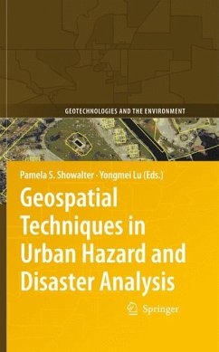
The material presented is multidisciplinary, with contributions from scholars in Africa, Asia, Europe, Latin America and North America, and is presented in five key sections:
- sea level rise and flood analysis
- earthquakes and tsunamis and international applications
- hurricane response/recovery
- metropolitan case studies
- evacuation studies
This volume contributes to our understanding of extreme events in urban environments with the use of GIT and expanding its role at the local, regional, state and federal levels. The book is a valuable reference for academic researchers and professionals and practitioners working in hazard management and mitigation.
Dieser Download kann aus rechtlichen Gründen nur mit Rechnungsadresse in A, B, BG, CY, CZ, D, DK, EW, E, FIN, F, GR, HR, H, IRL, I, LT, L, LR, M, NL, PL, P, R, S, SLO, SK ausgeliefert werden.
"The primary focus of this volume is on the use of spatial technologies in urban hazard and disaster issues, concentrating on their use in four stages in the disaster management process: response, recovery, preparation, and mitigation. ... the editors of this volume have provided an extremely useful addition to the literature in this area and one which deserves to be read by researchers with wider research interests in all aspects of disaster analysis." (Gary Higgs, Environment and Planning B: Planning and Design, Vol. 38, 2011)

