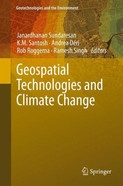
Geospatial Technologies and Climate Change (eBook, PDF)
Versandkostenfrei!
Sofort per Download lieferbar
72,95 €
inkl. MwSt.
Weitere Ausgaben:

PAYBACK Punkte
36 °P sammeln!
Geospatial Technologies and Climate Change describes various approaches from different countries on how to use geospatial technologies to help solving climate change issues. It also details how different geospatial technologies (remote sensing, Geographical Information System...) can be used to help with climate monitoring and modeling, how to work with them and what to be careful about. This book is written by scientific experts from four different continents. Written in a comprehensive and complete way, this book is essential reading material for graduate and undergraduate students intereste...
Geospatial Technologies and Climate Change describes various approaches from different countries on how to use geospatial technologies to help solving climate change issues. It also details how different geospatial technologies (remote sensing, Geographical Information System...) can be used to help with climate monitoring and modeling, how to work with them and what to be careful about. This book is written by scientific experts from four different continents. Written in a comprehensive and complete way, this book is essential reading material for graduate and undergraduate students interested in these techniques and in climate change.
Dieser Download kann aus rechtlichen Gründen nur mit Rechnungsadresse in A, B, BG, CY, CZ, D, DK, EW, E, FIN, F, GR, HR, H, IRL, I, LT, L, LR, M, NL, PL, P, R, S, SLO, SK ausgeliefert werden.


