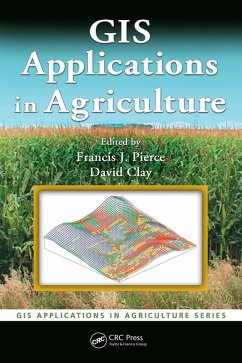
A unique resource on GIS applications in agronomy, this book examines how this powerful technology can help increase crop production and lower costs. It describes the nature of the problem, examines the purpose of the GIS application, describes methods used to develop the application, provides results, and offers a conclusion as well as other supportive information. When appropriate, it presents the underlying statistical approach for the GIS software that is used. Data sets and the color maps produced by the use of GIS are available for download on the CRC website.
Dieser Download kann aus rechtlichen Gründen nur mit Rechnungsadresse in A, B, BG, CY, CZ, D, DK, EW, E, FIN, F, GR, HR, H, IRL, I, LT, L, LR, M, NL, PL, P, R, S, SLO, SK ausgeliefert werden.

