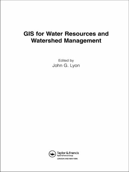
GIS for Water Resource and Watershed Management (eBook, ePUB)
Versandkostenfrei!
Sofort per Download lieferbar
52,95 €
inkl. MwSt.
Weitere Ausgaben:

PAYBACK Punkte
26 °P sammeln!
The use of GIS, and its application for solving environmental problems is growing rapidly. This powerful set of tools can be used to great effect in hydrological modeling, environment and habitat assessments, ecosystem studies, monitoring of wetlands and forested watersheds, urban studies, agricultural impact assessment and much more. GIS for Water
Dieser Download kann aus rechtlichen Gründen nur mit Rechnungsadresse in A, B, BG, CY, CZ, D, DK, EW, E, FIN, F, GR, HR, H, IRL, I, LT, L, LR, M, NL, PL, P, R, S, SLO, SK ausgeliefert werden.


