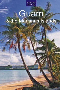
Guam is a special place for a number of reasons. At 212 square miles, it's the largest island in Micronesia, and its status as a territory of the U.S. makes it our most westerly possession. It is 6,000 miles west of San Francisco, and is truly where America's day begins. The geology of this apostrophe-shaped island, which is 30 miles long and four to twelve miles wide, is volcanic. Much of the north ern part has cliffs along the coast that drop sharply to the sea, as well as a few mountains that range up to 600 feet. The southern part of the island is basically volcanic (rather than limestone) and has a mountainous ridge separating island valleys from the coastline. Mt. Lamlam, 1,400 feet above sea level, is the highest point on the island and, with its base 37,000 feet below the sea, it can in fact be considered the world's highest mountain. Guam is a lush green island that supports a variety of plants, but only enough agriculture to provide a few local markets with pineap ples, bananas, papayas, mangos, beans, squash, and cucumbers. Agana, located about midway on the west coast, is the capital and, with its shopping centers, office buildings, parks, and some times heavy commuter traffic, could be "Any Town, U.S.A." Tumon Bay, 10 minutes by car from Agana, is Guam's answer to Waikiki, and on its arc of palm-fringed beach you will find one deluxe hotel after another. This guide tells you everything you need to know about this amazing island - where to stay and where to eat, what to see, what to do, how to get there and get around. With maps and color photos throughout.
Dieser Download kann aus rechtlichen Gründen nur mit Rechnungsadresse in A, B, BG, CY, CZ, D, DK, EW, E, FIN, F, GR, HR, H, IRL, I, LT, L, LR, M, NL, PL, P, R, S, SLO, SK ausgeliefert werden.

