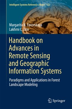
This book presents the latest advances in remote-sensing and geographic information systems and applications. It is divided into four parts, focusing on Airborne Light Detection and Ranging (LiDAR) and Optical Measurements of Forests; Individual Tree Modelling; Landscape Scene Modelling; and Forest Eco-system Modelling.
Given the scope of its coverage, the book offers a valuable resource for students, researchers, practitioners, and educators interested in remote sensing and geographic information systems and applications.
Dieser Download kann aus rechtlichen Gründen nur mit Rechnungsadresse in A, B, BG, CY, CZ, D, DK, EW, E, FIN, F, GR, HR, H, IRL, I, LT, L, LR, M, NL, PL, P, R, S, SLO, SK ausgeliefert werden.