101,95 €
101,95 €
inkl. MwSt.
Sofort per Download lieferbar
payback
51 °P sammeln
101,95 €
101,95 €
inkl. MwSt.
Sofort per Download lieferbar

Alle Infos zum eBook verschenken
payback
51 °P sammeln
Als Download kaufen
101,95 €
inkl. MwSt.
Sofort per Download lieferbar
payback
51 °P sammeln
Jetzt verschenken
101,95 €
inkl. MwSt.
Sofort per Download lieferbar

Alle Infos zum eBook verschenken
payback
51 °P sammeln
  • Format: PDF

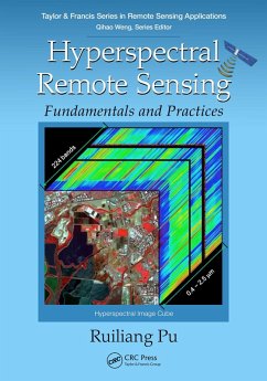
Advanced imaging spectral technology and hyperspectral analysis techniques for multiple applications are the key features of the book. This book will present, in one volume, complete solutions from concepts, fundamentals, and methods of acquisition of hyperspectral data to analyses and applications of the data in a very coherent manner.

Produktbeschreibung
Advanced imaging spectral technology and hyperspectral analysis techniques for multiple applications are the key features of the book. This book will present, in one volume, complete solutions from concepts, fundamentals, and methods of acquisition of hyperspectral data to analyses and applications of the data in a very coherent manner.


Dieser Download kann aus rechtlichen Gründen nur mit Rechnungsadresse in A, B, BG, CY, CZ, D, DK, EW, E, FIN, F, GR, HR, H, IRL, I, LT, L, LR, M, NL, PL, P, R, S, SLO, SK ausgeliefert werden.

Autorenporträt
Dr. Ruiliang Pu is currently an Associate Professor with the School of Geosciences, University of South Florida (USF). He earned a Ph.D. (Cartography & Geographic Information System) in 2000, conducted at University of California at Berkeley, from Chinese Academy of Sciences. He was a visiting scholar in Institute for Space and Terrestrial Sciences, Ontario, Canada and a visiting scholar at The University of Calgary.He was an Assistant Researcher at UC Berkeley, and a Visiting Research Scientist with Earth System Science Interdisciplinary Center, University of Maryland at College Park before moving to University of South Florida (USF) in 2006. His research experience and interests are in remote sensing, GIS and spatial statistics with direct applications to natural hazard monitoring, land use/cover change detection, biophysical and biochemical parameters extraction, and coastal and terrestrial ecosystems modeling. He has published more than 82 (41 related to hyperspectral remote sensing application studies on vegetation/plants