48,95 €
48,95 €
inkl. MwSt.
Sofort per Download lieferbar
payback
24 °P sammeln
48,95 €
48,95 €
inkl. MwSt.
Sofort per Download lieferbar

Alle Infos zum eBook verschenken
payback
24 °P sammeln
Als Download kaufen
48,95 €
inkl. MwSt.
Sofort per Download lieferbar
payback
24 °P sammeln
Jetzt verschenken
48,95 €
inkl. MwSt.
Sofort per Download lieferbar

Alle Infos zum eBook verschenken
payback
24 °P sammeln
  • Format: PDF

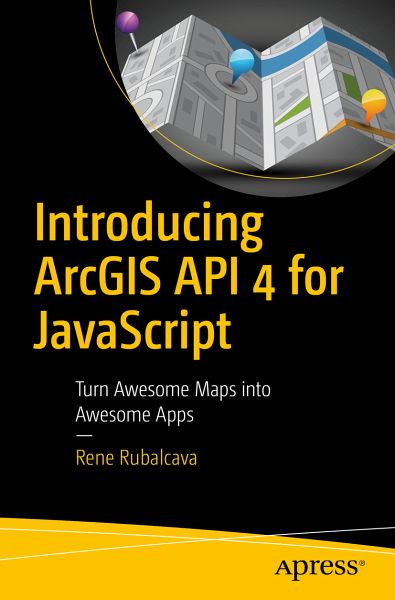
Learn to use the ArcGIS API 4 for JavaScript to build custom web mapping applications. This book teaches you to easily create interactive displays of geographic information that you can use to tell stories and answer questions.
Version 4 of the ArcGIS API for JavaScript introduces new patterns and fundamental concepts, including 3D mapping capabilities. You will learn the fundamentals of using the API in order to get the most out of it. Covering key concepts and how different components work together, you will also learn how to take advantage of the Widget framework built into the API to…mehr

Produktbeschreibung
Learn to use the ArcGIS API 4 for JavaScript to build custom web mapping applications. This book teaches you to easily create interactive displays of geographic information that you can use to tell stories and answer questions.

Version 4 of the ArcGIS API for JavaScript introduces new patterns and fundamental concepts, including 3D mapping capabilities. You will learn the fundamentals of using the API in order to get the most out of it. Covering key concepts and how different components work together, you will also learn how to take advantage of the Widget framework built into the API to build your own reusable widgets for your own ArcGIS JSAPI applications.

Including a series of samples you can use to leverage the API for your own applications, Introducing ArcGIS API 4 for JavaScript helps you take your existing knowledge of JavaScript to a new level, and add new features to your app libraries.


Dieser Download kann aus rechtlichen Gründen nur mit Rechnungsadresse in A, B, BG, CY, CZ, D, DK, EW, E, FIN, F, GR, HR, H, IRL, I, LT, L, LR, M, NL, PL, P, R, S, SLO, SK ausgeliefert werden.

Autorenporträt
Rene Rubalcava has been working in the field of GIS about 15 years now and has been developing custom applications for most of that time. He managed custom GIS development for the LA County Sanitation Districts, has done some consulting and freelancing over the years, and has been working for Esri since 2015. He works on the ArcGIS API for JavaScript and other projects. He maintains a blog, ODE.net, on spatial development, particularly focused on the ArcGIS API for JavaScript, and he runs an active YouTube channel. He also wrote a book on the previous version of the API, ArcGIS Web Development (Manning, 2014).