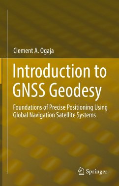
Introduction to GNSS Geodesy is a concise reference for beginners and experts in GNSS-based satellite geodesy. It covers all of the important concepts in almost a third of the space of the other GNSS books. Th e book begins with a case study in Augmented Reality to set the stage for what is to come and then moves on to the key elements of GNSS geodesy that make accurate and precise geopositioning possible. For example, it is important to understand the geodetic reference systems and the associated GNSS data processing strategies that enable both accurate and high-precision geopositioning. Chapter 2 gives an overview of GNSS constellations and signals, highlighting important characteristics. Chapter 3 then introduces reference systems in geodesy, covering such topics as time systems, geodetic datums, coordinate systems, coordinate conversions and transformations, and International Terrestrial Reference Frame. Th is lays the framework for the rest of the book.
Chapters 4 and 5 dig deep into mathematical formulation of GNSS parameter estimation and observation models. All the concepts are presented clearly and concisely, with diagrams to assist reader comprehension. Chapter 6 describes Continuously Operating Reference Station (CORS) networks and their role in geodesy and definition of reference frames. Various global and regional CORS networks are presented in this section. Th e chapter also covers GNSS data and common formats such as RINEX and RTCM. Chapter 7 introduces the whole cycle of GNSS data processing, including preprocessing, ambiguity fixing, and solution reprocessing methods as commonly used in both epoch solutions and time series data. Th e book concludes with appendices on orbit modelling, GNSS linear combinations, application examples, and an example linear model.
Chapters 4 and 5 dig deep into mathematical formulation of GNSS parameter estimation and observation models. All the concepts are presented clearly and concisely, with diagrams to assist reader comprehension. Chapter 6 describes Continuously Operating Reference Station (CORS) networks and their role in geodesy and definition of reference frames. Various global and regional CORS networks are presented in this section. Th e chapter also covers GNSS data and common formats such as RINEX and RTCM. Chapter 7 introduces the whole cycle of GNSS data processing, including preprocessing, ambiguity fixing, and solution reprocessing methods as commonly used in both epoch solutions and time series data. Th e book concludes with appendices on orbit modelling, GNSS linear combinations, application examples, and an example linear model.
Dieser Download kann aus rechtlichen Gründen nur mit Rechnungsadresse in A, B, BG, CY, CZ, D, DK, EW, E, FIN, F, GR, HR, H, IRL, I, LT, L, LR, M, NL, PL, P, R, S, SLO, SK ausgeliefert werden.

