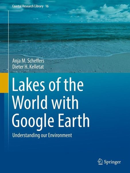
Lakes of the World with Google Earth (eBook, PDF)
Understanding our Environment

PAYBACK Punkte
48 °P sammeln!


Lakes of the World with Google Earth (eBook, PDF)
Dieser Download kann aus rechtlichen Gründen nur mit Rechnungsadresse in A, B, BG, CY, CZ, D, DK, EW, E, FIN, F, GR, HR, H, IRL, I, LT, L, LR, M, NL, PL, P, R, S, SLO, SK ausgeliefert werden.
Anja M. Scheffers is Professor of Geoscience, Southern Cross University, School of Environment, Science and Engineering, NSW, Australia. She has a M.Sc. from University of Bonn, a PhD from University of Duisburg-Essen, and a Habilitation (Sc.D.) from the University of Duisburg-Essen. She authored and co-authored more than 100 publications with main emphasis on the Physical Geography of coasts (palaeotsunamis and palaeostorms, general palaeoclimatology, sea level histories, Quaternary geochronology based on ESR and U-series dating, and multi-proxy study of corals), based on fieldwork in the Mediterranean, the Caribbean, SE-Asia, Australia and Ireland. Anja Scheffers was awarded the prestigious ARC (Australian Research Council) Future Fellowship 2009-2013.
Dieter H. Kelletat is Professor Emeritus in the Department of Geography at the University of Duisburg-Essen (Germany) and currently Lecturer at Cologne University. He has a Dipl.-Geogr.and PhD from Göttingen University and Habilitation (Sc.D.) from Technical University of Berlin. He was also Associate Professor at the University of Braunschweig and Professor at the University of Hannover. His expertise is Physical Geography with emphasis on the geomorphology of coasts, high mountains, glaciers and climate change. He authored, co-authored and edited more than 250 scientific publications including textbooks and books for a wider audience, based on fieldwork on five continents from the tropics to the Arctic.
Produktdetails
- Verlag: Springer International Publishing
- Seitenzahl: 293
- Erscheinungstermin: 14. Juni 2016
- Englisch
- ISBN-13: 9783319296173
- Artikelnr.: 46924264
"Lakes of the World with Google Earth combines lessons in lake geomorphology with over 300 aerial Google Earth images of lakes. ... the catalogue of images it contains could be a useful tool to supplement lectures in an introductory limnology class. If you are looking for ideas for amazing field sites or need compelling images to supplement a presentation, this is a great book." (Bridget R. Deemer, Limnology and Oceanography Bulletin, Vol. 26 (1), Feburary, 2017)
"This book superbly organizes and documents Google Earth lake images, making it an invaluable resource for community college students, lower-division undergraduates, and general readers. Summing Up: Recommended. Lower-division undergraduates and general readers." (C. Leachman, Choice, Vol. 54 (6), February, 2017)
"This book superbly organizes and documents Google Earth lake images, making it an invaluable resource for community college students, lower-division undergraduates, and general readers. Summing Up: Recommended. Lower-division undergraduates and general readers." (C. Leachman, Choice, Vol. 54 (6), February, 2017)
Für dieses Produkt wurde noch keine Bewertung abgegeben. Wir würden uns sehr freuen, wenn du die erste Bewertung schreibst!
Eine Bewertung schreiben
Eine Bewertung schreiben
Andere Kunden interessierten sich für


