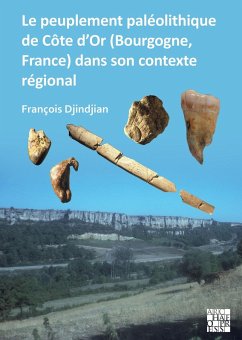
The Cote d'Or in Upper Burgundy is a border area between the Seine and Yonne basins to the north, the Saone basin to the southeast and the Loire basin to the southwest, with reliefs above 600 meters. It is a zone of passage between basins more than an area of permanent settlement, except in the most temperate periods of early prehistory. The region is considered poor in terms of Palaeolithic sites, a poverty relatively belied by a detailed study of inventoried sites. The most numerous remains of occupation are dated to the Middle Paleolithic, at the end of the interglacial MIS 5 and to the Gravettian in the beginning of MIS 2. The complex stratigraphy in caves and cornice-base systems reveals many shortcomings that notably obliterated the fills of MIS 3 and the end of MIS 2. The Boccard cave, which has the most complete stratigraphic sequence in the region, is here the subject of a previously unpublished detailed monograph. Comparisons with the Palaeolithic sites of the Seine basin (Arcy-sur-Cure caves, open-air sites in the Vanne valley) and the Sane basin (Solutr Vergisson, Germolles) show that the Palaeolithic settlement of the Cte d'Or is part of the larger settlement system of east-central France, knowledge of which is reduced by the sites' incomplete fills and the brevity of the occupations.
Dieser Download kann aus rechtlichen Gründen nur mit Rechnungsadresse in A, B, BG, CY, CZ, D, DK, EW, E, FIN, F, GR, HR, H, IRL, I, LT, L, LR, M, NL, PL, P, R, S, SLO, SK ausgeliefert werden.


