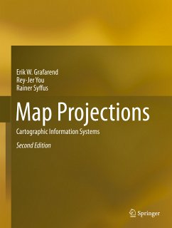
Map Projections (eBook, PDF)
Cartographic Information Systems
Versandkostenfrei!
Sofort per Download lieferbar
144,95 €
inkl. MwSt.
Weitere Ausgaben:

PAYBACK Punkte
72 °P sammeln!
This book offers a timely and innovative review of map projections (sphere, ellipsoidal, rotational surfaces) and of the geodetic datum transformations, in the context of Geographical Information Systems (GIS). The coverage includes reviews of computer vision and remote sensing space projective mappings.
Dieser Download kann aus rechtlichen Gründen nur mit Rechnungsadresse in A, B, BG, CY, CZ, D, DK, EW, E, FIN, F, GR, HR, H, IRL, I, LT, L, LR, M, NL, PL, P, R, S, SLO, SK ausgeliefert werden.


