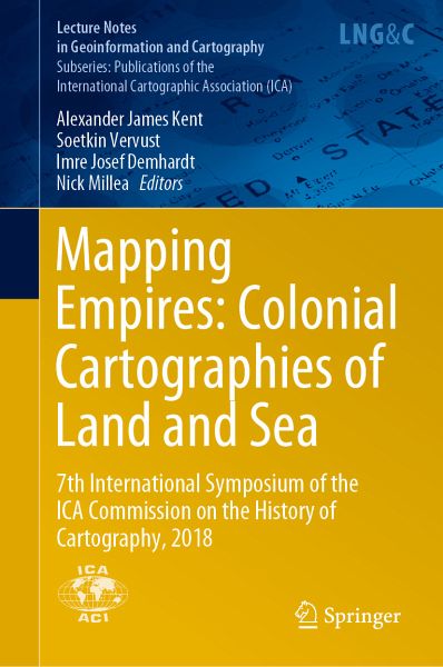
Mapping Empires: Colonial Cartographies of Land and Sea (eBook, PDF)
7th International Symposium of the ICA Commission on the History of Cartography, 2018
Redaktion: Kent, Alexander James; Millea, Nick; Demhardt, Imre Josef; Vervust, Soetkin
Versandkostenfrei!
Sofort per Download lieferbar
104,95 €
inkl. MwSt.
Weitere Ausgaben:

PAYBACK Punkte
52 °P sammeln!
This book comprises 17 chapters derived from new research papers presented at the 7th International Symposium of the ICA Commission on the History of Cartography, held in Oxford from 13 to 15 September 2018 and jointly organized by the ICA Commission on Topographic Mapping and the Bodleian Libraries, University of Oxford. The overall conference theme was 'Mapping Empires: Colonial Cartographies of Land and Sea'. The book presents a breadth of original research undertaken by internationally recognized authors in the field of historical cartography and offers a significant contribution to the de...
This book comprises 17 chapters derived from new research papers presented at the 7th International Symposium of the ICA Commission on the History of Cartography, held in Oxford from 13 to 15 September 2018 and jointly organized by the ICA Commission on Topographic Mapping and the Bodleian Libraries, University of Oxford. The overall conference theme was 'Mapping Empires: Colonial Cartographies of Land and Sea'. The book presents a breadth of original research undertaken by internationally recognized authors in the field of historical cartography and offers a significant contribution to the development of this growing field and to many interdisciplinary aspects of geography, history and the geographic information sciences. It is intended for researchers, teachers, postgraduate students, map librarians and archivists.
Dieser Download kann aus rechtlichen Gründen nur mit Rechnungsadresse in A, B, BG, CY, CZ, D, DK, EW, E, FIN, F, GR, HR, H, IRL, I, LT, L, LR, M, NL, PL, P, R, S, SLO, SK ausgeliefert werden.


