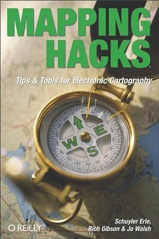
Mapping Hacks (eBook, PDF)
Tips & Tools for Electronic Cartography

PAYBACK Punkte
10 °P sammeln!
Since the dawn of creation, man has designed maps to help identify the space that we occupy. From Lewis and Clark's pencil-sketched maps of mountain trails to Jacques Cousteau's sophisticated charts of the ocean floor, creating maps of the utmost precision has been a constant pursuit. So why should things change now?Well, they shouldn't. The reality is that map creation, or "e;cartography,"e; has only improved in its ease-of-use over time. In fact, with the recent explosion of inexpensive computing and the growing availability of public mapping data, mapmaking today extends all the way...
Since the dawn of creation, man has designed maps to help identify the space that we occupy. From Lewis and Clark's pencil-sketched maps of mountain trails to Jacques Cousteau's sophisticated charts of the ocean floor, creating maps of the utmost precision has been a constant pursuit. So why should things change now?Well, they shouldn't. The reality is that map creation, or "e;cartography,"e; has only improved in its ease-of-use over time. In fact, with the recent explosion of inexpensive computing and the growing availability of public mapping data, mapmaking today extends all the way to the ordinary PC user.Mapping Hacks, the latest page-turner from O'Reilly Press, tackles this notion head on. It's a collection of one hundred simple--and mostly free--techniques available to developers and power users who want draw digital maps or otherwise visualize geographic data. Authors Schuyler Erle, Rich Gibson, and Jo Walsh do more than just illuminate the basic concepts of location and cartography, they walk you through the process one step at a time.Mapping Hacks shows you where to find the best sources of geographic data, and then how to integrate that data into your own map. But that's just an appetizer. This comprehensive resource also shows you how to interpret and manipulate unwieldy cartography data, as well as how to incorporate personal photo galleries into your maps. It even provides practical uses for GPS (Global Positioning System) devices--those touch-of-a-button street maps integrated into cars and mobile phones. Just imagine: If Captain Kidd had this technology, we'd all know where to find his buried treasure!With all of these industrial-strength tips and tools, Mapping Hacks effectively takes the sting out of the digital mapmaking and navigational process. Now you can create your own maps for business, pleasure, or entertainment--without ever having to sharpen a single pencil.
Dieser Download kann aus rechtlichen Gründen nur mit Rechnungsadresse in A, B, BG, CY, CZ, D, DK, EW, E, FIN, F, GR, HR, H, IRL, I, LT, L, LR, M, NL, PL, P, R, S, SLO, SK ausgeliefert werden.


