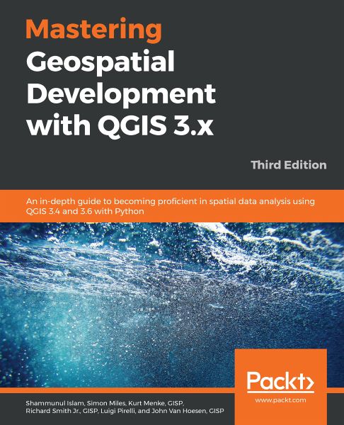
Mastering Geospatial Development with QGIS 3.x (eBook, ePUB)
An in-depth guide to becoming proficient in spatial data analysis using QGIS 3.4 and 3.6 with Python, 3rd Edition
Sofort per Download lieferbar
26,95 €
inkl. MwSt.

PAYBACK Punkte
13 °P sammeln!
Go beyond the basics and unleash the full power of QGIS 3.4 and 3.6 with practical, step-by-step examples Key Features One-stop solution to all of your GIS needs Master QGIS by learning about database integration, and geoprocessing tools Learn about the new and updated Processing toolbox and perform spatial analysis Book DescriptionQGIS is an open source solution to GIS and widely used by GIS professionals all over the world. It is the leading alternative to proprietary GIS software. Although QGIS is described as intuitive, it is also, by default, complex. Knowing which tools to use and...
Go beyond the basics and unleash the full power of QGIS 3.4 and 3.6 with practical, step-by-step examples
Key Features
Book Description
QGIS is an open source solution to GIS and widely used by GIS professionals all over the world. It is the leading alternative to proprietary GIS software. Although QGIS is described as intuitive, it is also, by default, complex. Knowing which tools to use and how to apply them is essential to producing valuable deliverables on time.
Starting with a refresher on the QGIS basics and getting you acquainted with the latest QGIS 3.6 updates, this book will take you all the way through to teaching you how to create a spatial database and a GeoPackage. Next, you will learn how to style raster and vector data by choosing and managing different colors. The book will then focus on processing raster and vector data. You will be then taught advanced applications, such as creating and editing vector data. Along with that, you will also learn about the newly updated Processing Toolbox, which will help you develop the advanced data visualizations. The book will then explain to you the graphic modeler, how to create QGIS plugins with PyQGIS, and how to integrate Python analysis scripts with QGIS.
By the end of the book, you will understand how to work with all aspects of QGIS and will be ready to use it for any type of GIS work.
What you will learn
Who this book is for
If you are a GIS professional, a consultant, a student, or perhaps a fast learner who wants to go beyond the basics of QGIS, then this book is for you. It will prepare you to realize the full potential of QGIS.
Key Features
- One-stop solution to all of your GIS needs
- Master QGIS by learning about database integration, and geoprocessing tools
- Learn about the new and updated Processing toolbox and perform spatial analysis
Book Description
QGIS is an open source solution to GIS and widely used by GIS professionals all over the world. It is the leading alternative to proprietary GIS software. Although QGIS is described as intuitive, it is also, by default, complex. Knowing which tools to use and how to apply them is essential to producing valuable deliverables on time.
Starting with a refresher on the QGIS basics and getting you acquainted with the latest QGIS 3.6 updates, this book will take you all the way through to teaching you how to create a spatial database and a GeoPackage. Next, you will learn how to style raster and vector data by choosing and managing different colors. The book will then focus on processing raster and vector data. You will be then taught advanced applications, such as creating and editing vector data. Along with that, you will also learn about the newly updated Processing Toolbox, which will help you develop the advanced data visualizations. The book will then explain to you the graphic modeler, how to create QGIS plugins with PyQGIS, and how to integrate Python analysis scripts with QGIS.
By the end of the book, you will understand how to work with all aspects of QGIS and will be ready to use it for any type of GIS work.
What you will learn
- Create and manage a spatial database
- Get to know advanced techniques to style GIS data
- Prepare both vector and raster data for processing
- Add heat maps, live layer effects, and labels to your maps
- Master LAStools and GRASS integration with the Processing Toolbox
- Edit and repair topological data errors
- Automate workflows with batch processing and the QGIS Graphical Modeler
- Integrate Python scripting into your data processing workflows
- Develop your own QGIS plugins
Who this book is for
If you are a GIS professional, a consultant, a student, or perhaps a fast learner who wants to go beyond the basics of QGIS, then this book is for you. It will prepare you to realize the full potential of QGIS.
Dieser Download kann aus rechtlichen Gründen nur mit Rechnungsadresse in A, B, BG, CY, CZ, D, DK, EW, E, FIN, F, GR, HR, H, IRL, I, LT, L, LR, M, NL, PL, P, R, S, SLO, SK ausgeliefert werden.


