79,95 €
79,95 €
inkl. MwSt.
Sofort per Download lieferbar
payback
40 °P sammeln
79,95 €
79,95 €
inkl. MwSt.
Sofort per Download lieferbar

Alle Infos zum eBook verschenken
payback
40 °P sammeln
Als Download kaufen
79,95 €
inkl. MwSt.
Sofort per Download lieferbar
payback
40 °P sammeln
Jetzt verschenken
79,95 €
inkl. MwSt.
Sofort per Download lieferbar

Alle Infos zum eBook verschenken
payback
40 °P sammeln
  • Format: ePub

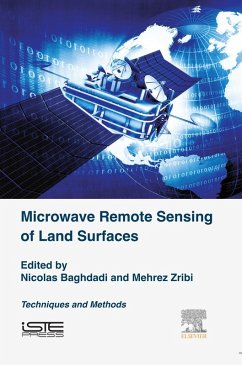
Microwave Remote Sensing of Land Surface: Techniques and Methods brings essential coverage of the space techniques of observation on continental surfaces. The authors explore major applications and provide detailed chapters on physical principles, physics of measurement, and data processing for each technique, bringing readers up-to-date descriptions of techniques used by leading scientists in the field of remote sensing and Earth observation.
Presents clear-and-concise descriptions of modern methods | Explores current remote sensing techniques that include physical aspects of measurement
…mehr

Produktbeschreibung
Microwave Remote Sensing of Land Surface: Techniques and Methods brings essential coverage of the space techniques of observation on continental surfaces. The authors explore major applications and provide detailed chapters on physical principles, physics of measurement, and data processing for each technique, bringing readers up-to-date descriptions of techniques used by leading scientists in the field of remote sensing and Earth observation.

  • Presents clear-and-concise descriptions of modern methods
  • Explores current remote sensing techniques that include physical aspects of measurement (theory) and their applications
  • Provides physical principles, measurement, and data processing chapters that are included for each technique described

Dieser Download kann aus rechtlichen Gründen nur mit Rechnungsadresse in A, B, BG, CY, CZ, D, DK, EW, E, FIN, F, GR, HR, H, IRL, I, LT, L, LR, M, NL, PL, P, R, S, SLO, SK ausgeliefert werden.

Autorenporträt
Nicolas Baghdadi is Research Director at IRSTEA in France. He is currently the scientific director of the French Land Data Centre (Theia).Mehrez Zribi is Director of Research at CNRS/France. He received Ph.D. degree in 1998 from the University of Toulouse, France. Since October 2008, he has been with the Centre d'Etudes Spatiales de la Biosphère, Toulouse. His research interests include land surface characterization for hydrology applications, remote sensing signal processing, and airborne microwave instrumentation. Mehrez Zribi has published 125 papers in peer-reviewed journals and has coordinated publication of 20 books about remote sensing for land surfaces. He serves as an editorial board member for several journals and coordinate several international and french research projects. He is deputy director of CESBIO laboratory.