72,95 €
72,95 €
inkl. MwSt.
Sofort per Download lieferbar
payback
36 °P sammeln
72,95 €
72,95 €
inkl. MwSt.
Sofort per Download lieferbar

Alle Infos zum eBook verschenken
payback
36 °P sammeln
Als Download kaufen
72,95 €
inkl. MwSt.
Sofort per Download lieferbar
payback
36 °P sammeln
Jetzt verschenken
72,95 €
inkl. MwSt.
Sofort per Download lieferbar

Alle Infos zum eBook verschenken
payback
36 °P sammeln
  • Format: ePub

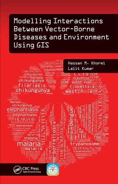
This timely and groundbreaking work demonstrates how to develop models of vector-borne disease risks based on different environmental and socioeconomic variables and to assess the association between these variables and their vectors in a geographic information system (GIS) environment. It addresses new spatial approaches and techniques based on location and environment. The book also introduces methods to identify, determine, and analyze the trend, movement, and distribution of diseases and the vectors that transmit disease.

  • Geräte: eReader
  • mit Kopierschutz
  • eBook Hilfe
  • Größe: 17.12MB
Produktbeschreibung
This timely and groundbreaking work demonstrates how to develop models of vector-borne disease risks based on different environmental and socioeconomic variables and to assess the association between these variables and their vectors in a geographic information system (GIS) environment. It addresses new spatial approaches and techniques based on location and environment. The book also introduces methods to identify, determine, and analyze the trend, movement, and distribution of diseases and the vectors that transmit disease.

Dieser Download kann aus rechtlichen Gründen nur mit Rechnungsadresse in A, B, BG, CY, CZ, D, DK, EW, E, FIN, F, GR, HR, H, IRL, I, LT, L, LR, M, NL, PL, P, R, S, SLO, SK ausgeliefert werden.

Autorenporträt
Dr. Hassan M. Khormi is an assistant professor in the Department of Geography, Umm Al-Qura University (UQU), where he teaches geographic information systems (GISs) and remote sensing. Also, Dr. Hassan is a Vice Dean of the Institute of Consulting Research and Studies. In early 2013, he accepted his position as assistant professor in the Department of Geography and as deputy director of the GIS Technology Innovation Centre for administrative affairs. He is also a consultant (part-time) at Jeddah Municipality and an adjunct lecturer in the School of Environment and Rural Science, University of New England, Australia. His main research interests are in the fields of environmental modelling and GIS applications on vector-borne diseases.

Dr. Lalit Kumar is an associate professor of spatial information technologies at the University of New England in Australia. He comes from Fiji, where he undertook his undergraduate and postgraduate studies in environmental science. Dr Kumar's expertise is in the use of GISs and remote-sensing technologies for mapping and modelling the environment, particularly natural resources and agricultural systems. In addition, he has contributed to over 150 publications, with over 100 journal articles in international peer-reviewed journals. Dr. Kumar is also an associate editor for the journal ISPRS Journal of Photogrammetry and Remote Sensing and an academic editor for PLoS ONE.