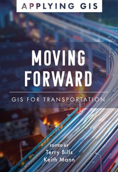
GIS for Transportation
Drive innovation, expand capacity, coordinate maintenance, and reduce costs.
Location intelligence is changing the way transportation agencies and departments protect and maintain their infrastructure and achieve operational excellence. In Moving Forward: GIS for Transportation, see how ports, airports, transit authorities, and departments of transportation around the world have implemented geographic information systems (GIS) to visualize and analyze data for operational efficiency, safety and security, asset management, and planning and sustainability.
Through web apps, online maps, dashboards, and other GIS solutions, transportation professionals develop a deeper understanding of infrastructure maintenance and operational performance within a real-world context, increasing efficiency, while improving communication and collaboration.
Edited by Terry Bills, Esri's director of transportation industry solutions, and Keith Mann, Esri Press.
Dieser Download kann aus rechtlichen Gründen nur mit Rechnungsadresse in A, D ausgeliefert werden.


