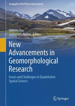
Recent geomorphological studies have undergone a transformative shift, particularly in their core methodologies. The book "New Advancements in Geomorphological Research: Issues and Challenges in Quantitative Spatial Science" explores neo-modern developments in applied geomorphology. It covers areas such as hydrological research, fluvial geomorphology, applied glacial geomorphology, coastal geomorphology changes, disaster and hazard monitoring from regional to global scales using advanced models, landslide monitoring, geo-heritage site suitability, and erosion detection. Contemporary advancements in remote sensing, GIS, and spatial science are integral to these studies, linking them closely with various sub-branches of earth science. Global climate change phenomena (GCCP) have significantly affected various important corners, local to regional level, and posing challenges to human civilization. Modern monitoring technologies and policy support systems can mitigate these issues and ensure the sustainability of the natural environment.
This book encompasses sustainable solutions for river course changes, glacier retreat, geo-hazard crisis management, coastal erosion management, and geo-heritage conservation. It offers a detailed time-scale analysis of processes from mountains to coastal regions, incorporating susceptibility and risk levels with advanced methods, with emphasizes the application of GIScience in applied geomorphology. Additionally, it highlights the adaptation of hybrid techniques, remote sensing, statistical tools, and GIS technologies to quantify issues across various branches of applied geomorphology. Through focused, problem-oriented case studies, it showcases the versatility of geomorphological research, environmental resource management, natural landscape conservation, and interconnected problems at different spatiotemporal scales. The contributed chapters deliver theoretical and applied insights for future research, making this book a valuable resource for researchers, scientists, academics, policymakers, and advanced learners in geoscience, earth science, applied geomorphology, remote sensing, environmental resource management, GIS, and hydrology.
Dieser Download kann aus rechtlichen Gründen nur mit Rechnungsadresse in A, B, BG, CY, CZ, D, DK, EW, E, FIN, F, GR, HR, H, IRL, I, LT, L, LR, M, NL, PL, P, R, S, SLO, SK ausgeliefert werden.