Normandy Invasion, June 1944 (eBook, ePUB)

PAYBACK Punkte
8 °P sammeln!
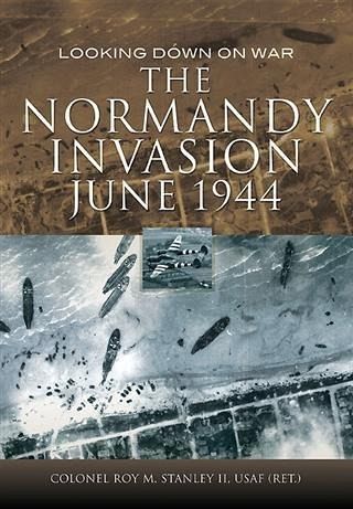
"This book takes an innovative approach to describingthe much-trodden territory of the D-Day landings by using a very broad range of aerial photographs." - The Pegasus Archive The Normandy Invasion literally takes a different view of D-Day and just beyond, showing the well-known events using aerial photos. This is what anxiously waiting senior officers knew about progress in the early hours of 6 June 1944. The RAF and USAAF imagery used is almost entirely from long-dormant U.S. Department of Defense intelligence files. Examining the invasion scene beach-by-beach, the eyes of a trained, experie...
"This book takes an innovative approach to describingthe much-trodden territory of the D-Day landings by using a very broad range of aerial photographs." - The Pegasus Archive The Normandy Invasion literally takes a different view of D-Day and just beyond, showing the well-known events using aerial photos. This is what anxiously waiting senior officers knew about progress in the early hours of 6 June 1944. The RAF and USAAF imagery used is almost entirely from long-dormant U.S. Department of Defense intelligence files. Examining the invasion scene beach-by-beach, the eyes of a trained, experienced photo interpreter uncover details a layman would certainly miss. This overview of Normandy landings and subsequent combat shows the scope and sweep of battle and helps explain why some objectives were reached, why some units forged ahead where others were stalled. We see the beaches as never before; their width at low tide; the support vessels offshore and equipment moving inland; formidable beach obstacles, and pre-invasion aerial reconnaissance. Think of this book as an adjunct to all the ground-level photos you have seen of men leaving landing craft or crouching beside sea walls-a different perspective on one of the momentous military actions of the last hundred years. Refer to this book when you read about D-Day and actually see what other authors have written about. "As never before, the reader can gain a view of the scale of this amazing military formation, both of the German defenses and the Allied forces landing, being resupplied and breaking out from the beachheads. This is a book not to be missed." -Firetrench Aerospace & Defence
Dieser Download kann aus rechtlichen Gründen nur mit Rechnungsadresse in A, B, BG, CY, CZ, D, DK, EW, E, FIN, F, GR, HR, H, IRL, I, LT, L, LR, M, NL, PL, P, R, S, SLO, SK ausgeliefert werden.


