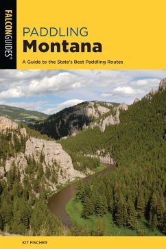
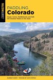
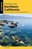
- Full-color photos
- GPS coordinates
- Detailed river descriptions
- Maps showing access points and river miles
- Level of difficulty, optimal flows, rapids, and other hazards
- Who to call for up-to-the minute information on floating conditions
- A brief overview of Lewis and Clark's historic paddle through Montana
Dieser Download kann aus rechtlichen Gründen nur mit Rechnungsadresse in A, B, BG, CY, CZ, D, DK, EW, E, FIN, F, GR, HR, H, IRL, I, LT, L, LR, M, NL, PL, P, R, S, SLO, SK ausgeliefert werden.

