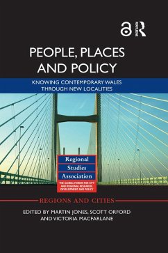
Set within the context of UK devolution and constitutional change, People, Places and Policy offers important and interesting insights into 'place-making' and 'locality-making' in contemporary Wales. Combining policy research with policy-maker and stakeholder interviews at various spatial scales (local, regional, national), it examines the historical processes and working practices that have produced the complex political geography of Wales.
This book looks at the economic, social and political geographies of Wales, which in the context of devolution and public service governance are hotly debated. It offers a novel 'new localities' theoretical framework for capturing the dynamics of locality-making, to go beyond the obsession with boundaries and coterminous geographies expressed by policy-makers and politicians. Three localities - Heads of the Valleys (north of Cardiff), central and west coast regions (Ceredigion, Pembrokeshire and the former district of Montgomeryshire in Powys) and the A55 corridor (from Wrexham to Holyhead) - are discussed in detail to illustrate this and also reveal the geographical tensions of devolution in contemporary Wales.
This book is an original statement on the making of contemporary Wales from the Wales Institute of Social and Economic Research, Data and Methods (WISERD) researchers. It deploys a novel 'new localities' theoretical framework and innovative mapping techniques to represent spatial patterns in data. This allows the timely uncovering of both unbounded and fuzzy relational policy geographies, and the more bounded administrative concerns, which come together to produce and reproduce over time Wales' regional geography.
Dieser Download kann aus rechtlichen Gründen nur mit Rechnungsadresse in A, B, BG, CY, CZ, D, DK, EW, E, FIN, F, GR, HR, H, IRL, I, LT, L, LR, M, NL, PL, P, R, S, SLO, SK ausgeliefert werden.

