Polar Remote Sensing (eBook, PDF)
Volume II: Ice Sheets
Versandkostenfrei!
Sofort per Download lieferbar
216,95 €
inkl. MwSt.
Weitere Ausgaben:

PAYBACK Punkte
108 °P sammeln!
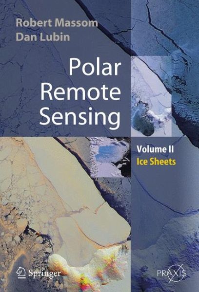
Polar Remote Sensing is a two-volume work providing a comprehensive, multidisciplinary discussion of the applications of satellite sensing.Volume 2 focuses on the ice sheets, icebergs, and interactions between ice sheets and the atmosphere and ocean. It contains information about the applications of satellite remote sensing in all relevant polar related disciplines, including glaciology, meteorology, climate and radiation balance and oceanogaraphy. It also provides a brief review of the state-of-the-art of each discipline, including current issues and questions. Various passive and active remo...
Polar Remote Sensing is a two-volume work providing a comprehensive, multidisciplinary discussion of the applications of satellite sensing.
Volume 2 focuses on the ice sheets, icebergs, and interactions between ice sheets and the atmosphere and ocean. It contains information about the applications of satellite remote sensing in all relevant polar related disciplines, including glaciology, meteorology, climate and radiation balance and oceanogaraphy. It also provides a brief review of the state-of-the-art of each discipline, including current issues and questions. Various passive and active remote sensor types are discussed, and the book then concentrates on specific geophysical applications. Its interdisciplinary approach means that major advances and publications are highlighted.
Polar Remote Sensing: Ice Sheets
- summarizes fundamental principles of detectors, imaging and geophysical product retrieval
- includes a chapter on the important new field of satellite synthetic-aperture radar interferometry
- is a "one stop shop" for polar remote sensing information
- contains significant new information on the Earth's polar regions
- describes sophisticated groundbased remote sensing applications with specific reference to their use in polar regions.
Dieser Download kann aus rechtlichen Gründen nur mit Rechnungsadresse in A, B, BG, CY, CZ, D, DK, EW, E, FIN, F, GR, HR, H, IRL, I, LT, L, LR, M, NL, PL, P, R, S, SLO, SK ausgeliefert werden.


