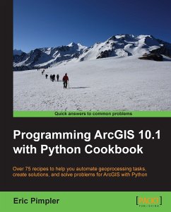
ArcGIS is an industry standard geographic information system from ESRI.This book will show you how to use the Python programming language to create geoprocessing scripts, tools, and shortcuts for the ArcGIS Desktop environment.This book will make you a more effective and efficient GIS professional by showing you how to use the Python programming language with ArcGIS Desktop to automate geoprocessing tasks, manage map documents and layers, find and fix broken data links, edit data in feature classes and tables, and much more."Programming ArcGIS 10.1 with Python Cookbook" starts by covering fundamental Python programming concepts in an ArcGIS Desktop context. Using a how-to instruction style you'll then learn how to use Python to automate common important ArcGIS geoprocessing tasks.In this book you will also cover specific ArcGIS scripting topics which will help save you time and effort when working with ArcGIS. Topics include managing map document files, automating map production and printing, finding and fixing broken data sources, creating custom geoprocessing tools, and working with feature classes and tables, among others.In "Python ArcGIS 10.1 Programming Cookbook" you'll learn how to write geoprocessing scripts using a pragmatic approach designed around an approach of accomplishing specific tasks in a Cookbook style format.
Hinweis: Dieser Artikel kann nur an eine deutsche Lieferadresse ausgeliefert werden.
Hinweis: Dieser Artikel kann nur an eine deutsche Lieferadresse ausgeliefert werden.

