10,99 €
10,99 €
inkl. MwSt.
Sofort per Download lieferbar
payback
0 °P sammeln
10,99 €
10,99 €
inkl. MwSt.
Sofort per Download lieferbar

Alle Infos zum eBook verschenken
payback
0 °P sammeln
Als Download kaufen
10,99 €
inkl. MwSt.
Sofort per Download lieferbar
payback
0 °P sammeln
Jetzt verschenken
10,99 €
inkl. MwSt.
Sofort per Download lieferbar

Alle Infos zum eBook verschenken
payback
0 °P sammeln
  • Format: ePub

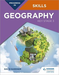
This book is designed to help students build up and apply geographical skills throughout KS3. A wide range of skills are introduced in Unit 1, and then revisited and progressed in different contexts in Units 2-15 as part of a learning journey to becoming a geographer. These skills are progressed as an integral component of an enquiry process. The book provides a firm foundation for the geographical skills required at GCSE level and beyond. A wide range of geographical data is provided including satellite images and a large number of OS maps at a variety of scales, often linked to other data,…mehr

  • Geräte: eReader
  • mit Kopierschutz
  • eBook Hilfe
  • Größe: 144.14MB
Produktbeschreibung
This book is designed to help students build up and apply geographical skills throughout KS3. A wide range of skills are introduced in Unit 1, and then revisited and progressed in different contexts in Units 2-15 as part of a learning journey to becoming a geographer. These skills are progressed as an integral component of an enquiry process. The book provides a firm foundation for the geographical skills required at GCSE level and beyond. A wide range of geographical data is provided including satellite images and a large number of OS maps at a variety of scales, often linked to other data, such as ground and aerial photos. Progress in Geography Skills: Key Stage 3 can be used independently or alongside the Progress in Geography: Key Stage 3 Student book.

Each page has a specific learning objective and skills focus, such as:

- Conducting geographical enquiries; considering different points of view and making decisions
- Drawing field sketches, linked to OS maps and locating places using lines of latitude and longitude on an atlas or grid references on OS maps
- Understanding and drawing a wide variety of graphs
- Analysis and presentation of statistical data
- Comparing ground level photographs with Ordnance Survey maps and being able to identify coastal, glacial and river landforms on OS maps
- Using newspapers to investigate issues, and detect bias
- Using websites, including online GiS, as part of enquiries and investigating data


Dieser Download kann aus rechtlichen Gründen nur mit Rechnungsadresse in A, B, BG, CY, CZ, D, DK, EW, E, FIN, F, GR, HR, H, IRL, I, LT, L, LR, M, NL, PL, P, R, S, SLO, SK ausgeliefert werden.