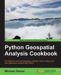
This book begins by tackling the installation of the necessary software dependencies and libraries needed to perform spatial analysis with Python. From there, the next logical step is to prepare our data for analysis; we will do this by building up our tool box to deal with data preparation, transformations, and projections. Now that our data is ready for analysis, we will tackle the most common analysis methods for vector and raster data. To check or validate our results, we will explore how to use topology checks to ensure top-quality results. This is followed with network routing analysis focused on constructing indoor routes within buildings, over different levels.
Finally, we put several recipes together in a GeoDjango web application that demonstrates a working indoor routing spatial analysis application. The round trip will provide you all the pieces you need to accomplish your own spatial analysis application to suit your requirements.
Dieser Download kann aus rechtlichen Gründen nur mit Rechnungsadresse in A, B, BG, CY, CZ, D, DK, EW, E, FIN, F, GR, HR, H, IRL, I, LT, L, LR, M, NL, PL, P, R, S, SLO, SK ausgeliefert werden.
Hinweis: Dieser Artikel kann nur an eine deutsche Lieferadresse ausgeliefert werden.

