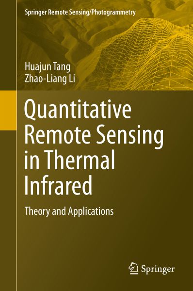
Quantitative Remote Sensing in Thermal Infrared (eBook, PDF)
Theory and Applications
Versandkostenfrei!
Sofort per Download lieferbar
88,95 €
inkl. MwSt.
Weitere Ausgaben:

PAYBACK Punkte
44 °P sammeln!
This book provides a comprehensive and advanced overview of the basic theory of thermal remote sensing and its application in hydrology, agriculture, and forestry. Specifically, the book highlights the main theory, assumptions, advantages, drawbacks, and perspectives of these methods for the retrieval and validation of surface temperature/emissivity and evapotranspiration from thermal infrared remote sensing. It will be an especially valuable resource for students, researchers, experts, and decision-makers whose interest focuses on the retrieval and validation of surface temperature/emissivity...
This book provides a comprehensive and advanced overview of the basic theory of thermal remote sensing and its application in hydrology, agriculture, and forestry. Specifically, the book highlights the main theory, assumptions, advantages, drawbacks, and perspectives of these methods for the retrieval and validation of surface temperature/emissivity and evapotranspiration from thermal infrared remote sensing. It will be an especially valuable resource for students, researchers, experts, and decision-makers whose interest focuses on the retrieval and validation of surface temperature/emissivity, the estimation and validation of evapotranspiration at satellite pixel scale, and the application of thermal remote sensing. Both Prof. Huajun Tang and Prof. Zhao-Liang Li work at the Chinese Academy of Agricultural Sciences (CAAS), China.
Dieser Download kann aus rechtlichen Gründen nur mit Rechnungsadresse in A, B, BG, CY, CZ, D, DK, EW, E, FIN, F, GR, HR, H, IRL, I, LT, L, LR, M, NL, PL, P, R, S, SLO, SK ausgeliefert werden.


