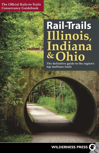
Rail-Trails Illinois, Indiana, & Ohio (eBook, ePUB)
The definitive guide to the region's top multiuse trails

PAYBACK Punkte
5 °P sammeln!
Across the country, more than 1600 unused railroad corridors have been converted to level, public, multiuse trails, where people can enjoy a fitness run, a leisurely bike ride, or a stroll with the family. In this updated guide in the popular series, the Rails-to-Trails Conservancy presents the finest rail-trails plus other great multiuse trails in three Midwestern states.Rail-Trails Illinois, Indiana, and Ohio covers more than 70 trails in the region. Many rail-trails are paved and run through the most scenic parts of towns. Others, such as the 20-mile Sam Vadalabene Great River Road Bike Tra...
Across the country, more than 1600 unused railroad corridors have been converted to level, public, multiuse trails, where people can enjoy a fitness run, a leisurely bike ride, or a stroll with the family. In this updated guide in the popular series, the Rails-to-Trails Conservancy presents the finest rail-trails plus other great multiuse trails in three Midwestern states.
Rail-Trails Illinois, Indiana, and Ohio covers more than 70 trails in the region. Many rail-trails are paved and run through the most scenic parts of towns. Others, such as the 20-mile Sam Vadalabene Great River Road Bike Trail, travel along lush waterways, dramatic bluffs, and steep hills. The Monoon Trail in Indiana highlights the best of midwestern rail-trails by stitching together neighborhoods, recreational facilities, schools, and cultural centers between Indianapolis and Carmel. Rail-Trails Illinois, Indiana, and Ohio lets readers enjoy the serenity of the rural countryside along the Midwest's many great multiuse trails.
This full-color book includes succinct descriptions of each trail from start to finish, plus at-a-glance summary information indicating permitted uses, surface type, length, and directions to trailheads for each trail. Every trip has a detailed map that includes start and end points, trailhead, parking, restroom facilities, and other amenities.
Dieser Download kann aus rechtlichen Gründen nur mit Rechnungsadresse in A, D ausgeliefert werden.


