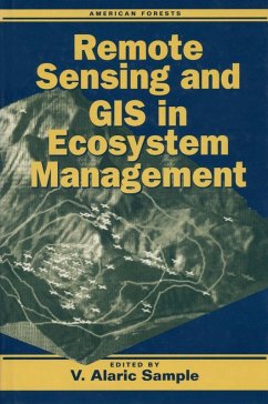
Recadvances in remote-sensing technology and the processing of remote-sensing data through geographic information systems (GIS) presecologists and resource managers with a tremendously valuable tool -- but only if they are able to understand its capabilities and capture its potential.Remote Sensing and GIS in Ecosystem Managemidentifies and articulates currand emerging information needs of those involved with the managemof forest ecosystems. It explores the potential of remote-sensing/GIS technologies to address those needs, examining: the need for landscape-scale analysis to support forest ecosystem research and managemcurrchallenges in the developmof remote-sensing/GIS applications case studies of differforest regions in the United States the potential for further developmor declassification of military and aerospace remote-sensing/GIS technologies As well as providing important information for ecologists and resource managers, the book will serve as a valuable resource for legislative and judicial policymakers who do not have a technical background in either remote sensing or resource managembut who are nonetheless called upon to make decisions regarding the protection and managemof forest ecosystems.
Dieser Download kann aus rechtlichen Gründen nur mit Rechnungsadresse in A, B, BG, CY, CZ, D, DK, EW, E, FIN, F, GR, HR, H, IRL, I, LT, L, LR, M, NL, PL, P, R, S, SLO, SK ausgeliefert werden.


