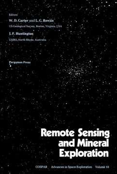
Remote Sensing and Mineral Exploration contains the proceedings of the international workshop on remote sensing and mineral exploration, held in Bangalore, India in June 1979. The compendium is comprised of papers presented at the workshop and reflects the state of remote sensing in the field of geology and exploration for mineral and energy resources.
The two-day conference serves as a platform for geologists and other experts in related fields to share experiences and research studies on the use of satellites and other remote sensing techniques in geologic mapping and mineral and energy exploration. Topics presented include, contributions of LANDSAT data to the geological survey of India; characteristics of the LANDSAT system and data for geologic applications; application of remote sensing techniques to petroleum exploration; and an automatic method of discriminating rock outcrops using LANDSAT data.
Geologists, petroleum and mineral exploration experts, and researchers will find this book an interesting reading material.
Dieser Download kann aus rechtlichen Gründen nur mit Rechnungsadresse in A, B, BG, CY, CZ, D, DK, EW, E, FIN, F, GR, HR, H, IRL, I, LT, L, LR, M, NL, PL, P, R, S, SLO, SK ausgeliefert werden.