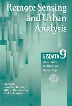
This book outlines a range of methods for the production and analysis of urban remote sensing data. These include improvements to per-pixel image classification algorithms, various methods of image fusion, syntactic pattern recognition techniques, the role of mathematical morphology, and geostatistical approaches to the analysis and interpretation of textural and spatial image patterns. The book covers the identification of urban forms, the delineation of agglomerations, and the measurement of urban morphology. Surface models are considered for the analysis of integrated data sets, in which the scope of the applications is widened to consider the estimation of human population levels.
Dieser Download kann aus rechtlichen Gründen nur mit Rechnungsadresse in A, B, BG, CY, CZ, D, DK, EW, E, FIN, F, GR, HR, H, IRL, I, LT, L, LR, M, NL, PL, P, R, S, SLO, SK ausgeliefert werden.

