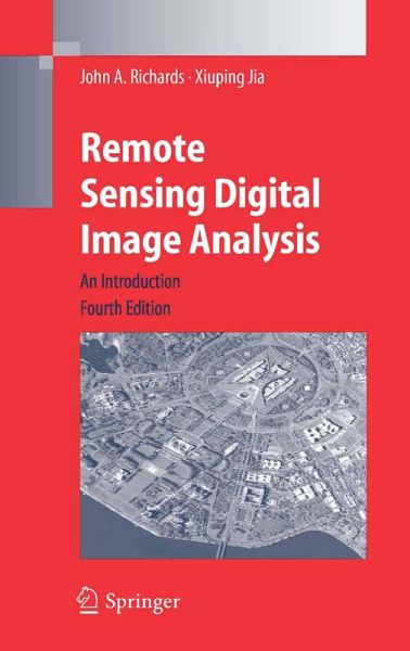
Remote Sensing Digital Image Analysis (eBook, PDF)
An Introduction
Versandkostenfrei!
Sofort per Download lieferbar
70,95 €
inkl. MwSt.
Weitere Ausgaben:

PAYBACK Punkte
35 °P sammeln!
Remote Sensing Digital Image Analysis provides the non-specialist with an introduction to quantitative evaluation of satellite and aircraft derived remotely retrieved data. Each chapter covers the pros and cons of digital remotely sensed data, without detailed mathematical treatment of computer based algorithms, but in a manner conductive to an understanding of their capabilities and limitations. Problems conclude each chapter. This fourth edition has been developed to reflect the changes that have occurred in this area over the past several years. Its focus is on those procedures that seem no...
Remote Sensing Digital Image Analysis provides the non-specialist with an introduction to quantitative evaluation of satellite and aircraft derived remotely retrieved data. Each chapter covers the pros and cons of digital remotely sensed data, without detailed mathematical treatment of computer based algorithms, but in a manner conductive to an understanding of their capabilities and limitations. Problems conclude each chapter. This fourth edition has been developed to reflect the changes that have occurred in this area over the past several years. Its focus is on those procedures that seem now to have become part of the set of tools regularly used to perform thematic mapping. As with previous revisions, the fundamental material has been preserved in its original form because of its tutorial value; its style has been revised in places and it has been supplemented if newer aspects have emerged in the time since the third edition appeared. It still meets, however, the needs of the senior student and practitioner.
Dieser Download kann aus rechtlichen Gründen nur mit Rechnungsadresse in A, B, BG, CY, CZ, D, DK, EW, E, FIN, F, GR, HR, H, IRL, I, LT, L, LR, M, NL, PL, P, R, S, SLO, SK ausgeliefert werden.


