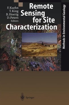
This volume, Remote Sensing for Site Characterization, describes the feasibility of aircraft- and satellite-based methods of revealing environmental-geological problems. A balanced ratio between explanations of the methodological/technical side and presentations of case studies is maintained. The comparison of case studies from North America and Germany show how the respective territorial conditions lead to distinct methodological approaches. The dissimilarities in population density alone and the often considerable differences in the distances between the waste disposal areas, the settlements, and the groundwater-protected areas necessitate a diversified "methods" approach. Case studies demonstrate the combination of aerial photo interpretation and thermal remote sensing for locating hidden waste disposal sites (Oak Ridge National Laboratory, Tennessee), the application of satellite and hyperspectral airborne remote sensing to characterize mine tailing and its impact on its vicinity (Summitville, Cripple Creek, Colorado and Goldfield, Nevada), and the use of satellite and airborne data for characterizing mining and tailing sites (Sudbury, Ontario). The German case studies refer to investigations of waste disposal sites based on wartime aerial photography (Arnstadt, Thuringia) and multisensor airborne remote sensing (Schoeneiche, Brandenburg).
Dieser Download kann aus rechtlichen Gründen nur mit Rechnungsadresse in A, B, BG, CY, CZ, D, DK, EW, E, FIN, F, GR, HR, H, IRL, I, LT, L, LR, M, NL, PL, P, R, S, SLO, SK ausgeliefert werden.

