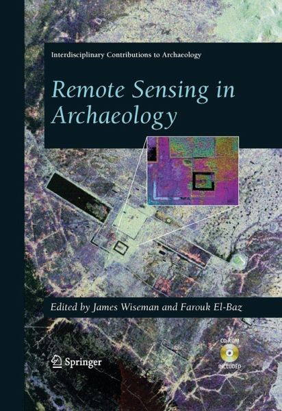
Remote Sensing in Archaeology (eBook, PDF)
Versandkostenfrei!
Sofort per Download lieferbar
160,95 €
inkl. MwSt.
Weitere Ausgaben:

PAYBACK Punkte
80 °P sammeln!
This book illustrates the uses of advanced technology in archaeological investigation. It deals with hand-held instruments that probe the subsurface of the earth to unveil layering and associated sites; underwater exploration and photography of submerged sites and artifacts; and the utilization of imaging from aircraft and spacecraft to reveal the regional setting of archaeological sites and to assist in cultural resource management. In each case, the technical developments are explained first, followed by examples of applications as case studies. The book is profusely illustrated with graphs ...
This book illustrates the uses of advanced technology in archaeological investigation. It deals with hand-held instruments that probe the subsurface of the earth to unveil layering and associated sites; underwater exploration and photography of submerged sites and artifacts; and the utilization of imaging from aircraft and spacecraft to reveal the regional setting of archaeological sites and to assist in cultural resource management. In each case, the technical developments are explained first, followed by examples of applications as case studies. The book is profusely illustrated with graphs and photographs to explain the methodologies and results, so that the reader may better understand the principles involved and apply the knowledge gained to similar environments.
Dieser Download kann aus rechtlichen Gründen nur mit Rechnungsadresse in A, B, BG, CY, CZ, D, DK, EW, E, FIN, F, GR, HR, H, IRL, I, LT, L, LR, M, NL, PL, P, R, S, SLO, SK ausgeliefert werden.


