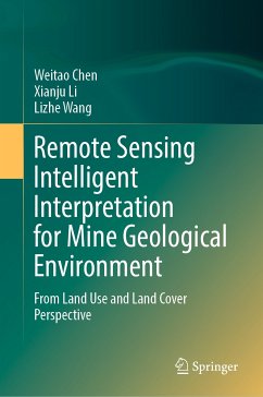
This book examines the theory and methods of remote sensing intelligent interpretation based on deep learning. Based on geological and environmental effects on mines, this book constructs a set of systematic mine remote sensing datasets focusing on the multi-level task with the system of "target detection¿scene classification¿semantic segmentation."
Taking China's Hubei Province as an example, this book focuses on the following four aspects: 1. Development of a multiscale remote sensing dataset of the mining area, including mine target remote sensing dataset, mine (including non-mine areas) remote sensing scene dataset, and semantic segmentation remote sensing dataset of mining land cover. The three datasets are the basis of intelligent interpretation based on deep learning. 2. Research on mine target remote sensing detection method based on deep learning. 3. Research on remote sensing scene classification method of mine and non-mine areas based on deep learning. 4. Research on the fine-scale classification method of mining land cover based on semantic segmentation.
The book is a valuable reference both for scholars, practitioners and as well as graduate students who are interested in mining environment research.
Dieser Download kann aus rechtlichen Gründen nur mit Rechnungsadresse in A, B, BG, CY, CZ, D, DK, EW, E, FIN, F, GR, HR, H, IRL, I, LT, L, LR, M, NL, PL, P, R, S, SLO, SK ausgeliefert werden.

