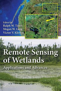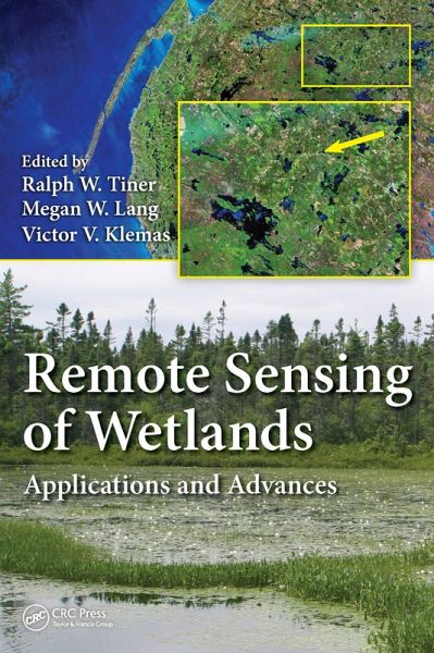
Remote Sensing of Wetlands (eBook, PDF)
Applications and Advances
Redaktion: Tiner, Ralph W.; Klemas, Victor V.; Lang, Megan W.
Versandkostenfrei!
Sofort per Download lieferbar
157,95 €
inkl. MwSt.
Weitere Ausgaben:

PAYBACK Punkte
79 °P sammeln!
Effectively Manage Wetland Resources Using the Best Available Remote Sensing TechniquesUtilizing top scientists in the wetland classification and mapping field, Remote Sensing of Wetlands: Applications and Advances covers the rapidly changing landscape of wetlands and describes the latest advances in remote sensing that have taken place over the pa
Dieser Download kann aus rechtlichen Gründen nur mit Rechnungsadresse in A, B, BG, CY, CZ, D, DK, EW, E, FIN, F, GR, HR, H, IRL, I, LT, L, LR, M, NL, PL, P, R, S, SLO, SK ausgeliefert werden.


