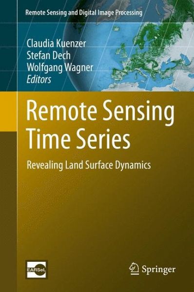
Remote Sensing Time Series (eBook, PDF)
Revealing Land Surface Dynamics
Redaktion: Kuenzer, Claudia; Wagner, Wolfgang; Dech, Stefan
Versandkostenfrei!
Sofort per Download lieferbar
128,95 €
inkl. MwSt.
Weitere Ausgaben:

PAYBACK Punkte
64 °P sammeln!
This volume comprises an outstanding variety of chapters on Earth Observation based time series analyses, undertaken to reveal past and current land surface dynamics for large areas. What exactly are time series of Earth Observation data? Which sensors are available to generate real time series? How can they be processed to reveal their valuable hidden information? Which challenges are encountered on the way and which pre-processing is needed? And last but not least: which processes can be observed? How are large regions of our planet changing over time and which dynamics and trends are visibl...
This volume comprises an outstanding variety of chapters on Earth Observation based time series analyses, undertaken to reveal past and current land surface dynamics for large areas. What exactly are time series of Earth Observation data? Which sensors are available to generate real time series? How can they be processed to reveal their valuable hidden information? Which challenges are encountered on the way and which pre-processing is needed? And last but not least: which processes can be observed? How are large regions of our planet changing over time and which dynamics and trends are visible? These and many other questions are answered within this book "Remote Sensing Time Series Analyses - Revealing Land Surface Dynamics". Internationally renowned experts from Europe, the USA and China present their exciting findings based on the exploitation of satellite data archives from well-known sensors such as AVHRR, MODIS, Landsat, ENVISAT, ERS and METOP amongst others. Selected review and methods chapters provide a good overview over time series processing and the recent advances in the optical and radar domain. A fine selection of application chapters addresses multi-class land cover and land use change at national to continental scale, the derivation of patterns of vegetation phenology, biomass assessments, investigations on snow cover duration and recent dynamics, as well as urban sprawl observed over time.
Dieser Download kann aus rechtlichen Gründen nur mit Rechnungsadresse in A, B, BG, CY, CZ, D, DK, EW, E, FIN, F, GR, HR, H, IRL, I, LT, L, LR, M, NL, PL, P, R, S, SLO, SK ausgeliefert werden.


